Wednesday, July 25, 2012
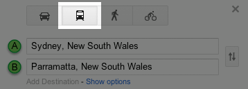
The NSW Transport Minister, Gladys Berejiklian, and Google's director of engineering for Australia and New Zealand, Alan Noble, today announced that Sydney residents and tourists will now be able to use Google Maps to navigate their way through the city on public transport.
Click here to visit Google Maps Australia.
The following is some information from the Transport NSW press release:
Public transport on Google Maps
Transport for NSW has collaborated with Google to launch public transport on Google Maps.
Traditionally customers searching for directions on Google Maps had three travel options; walking, driving or using a bicycle. A fourth option is now available which offers directions on public transport.
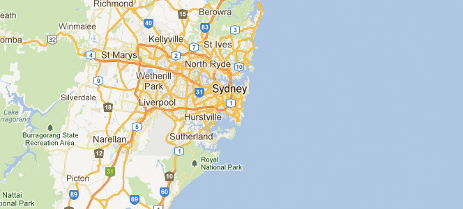
Public transport on Google Maps includes information on buses, ferries, trains and light rail services in greater metropolitan Sydney.
Customers can access Google Maps by visiting maps.google.com.au through the internet and via Google Maps applications on smart phones.
International visitors to Sydney will find the transport network easier to navigate using this service, which is available in 12 different languages including Mandarin, Spanish and German.
Public transport information supplied to Google and other map developers is based on 131500 data and is updated weekly. Transport Info 131500 remains the best tool for information about service track work and unscheduled interruptions.
Click here to see the full press release on the Transport NSW website.
 Subscribe